Precision agriculture

Precision agriculture and satellite monitoring for vineyards and crops.

We combine agricultural remote sensing, satellite imagery, NDVI, NDWI, weather, mapping and operational tools to monitor vineyards and crops and support better decisions from plot to territory.

NDVI NDWI Field records Arcadia Reports Climate SIGPAC Variable-rate application Harvest
Product

Information for every plot, in the office and in the field.

Arcadia brings together mapping, satellite imagery, zoning, time series, weather and operations management in an interface designed for both desktop and mobile work.
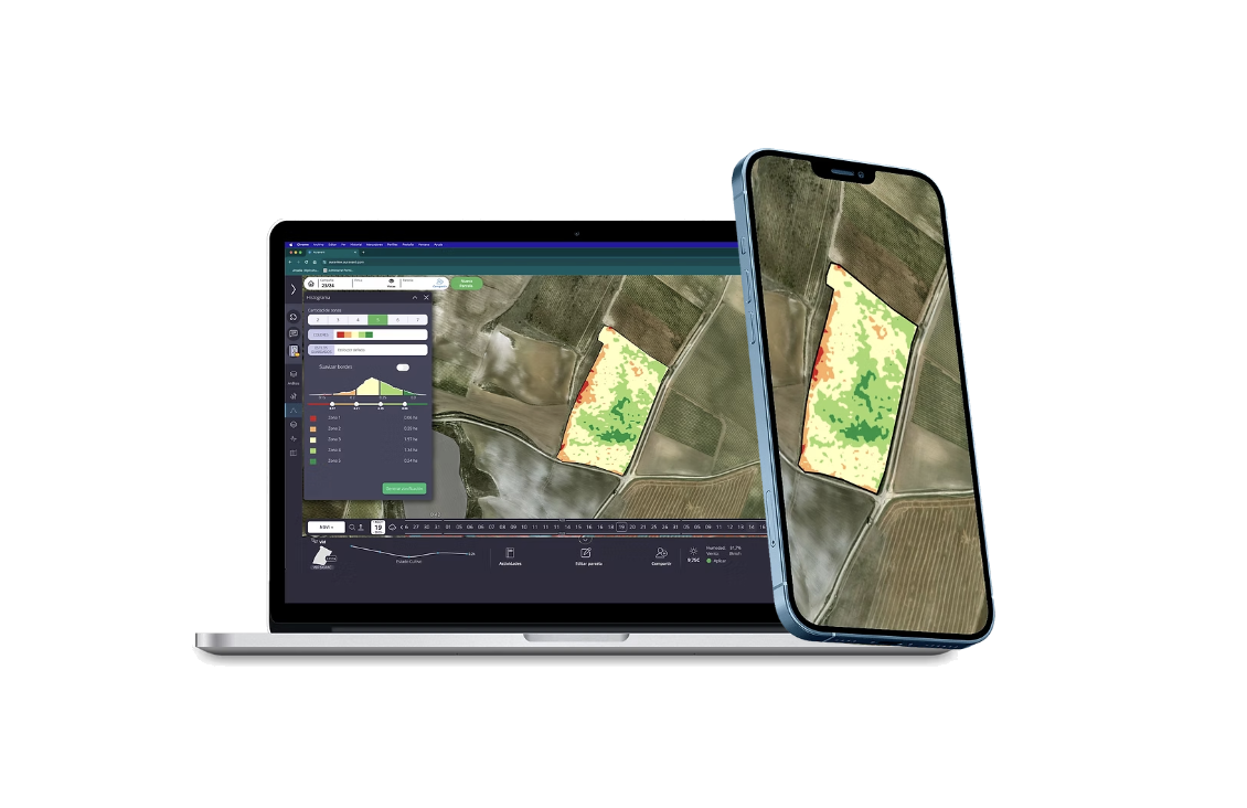
Plot viewFast interpretation of vigor, water stress and heterogeneity
Multi-device accessDesktop, tablet and mobile for technicians and field teams
Operational workUseful data for inspection, planning and monitoring
PLATAFORMA ARCADIA
Plataforma agrícola Arcadia en ordenador y móvil con mapa parcelario y zonificación
DATA · TERRITORY · DECISION
All in one

Practical tools for integrated management.

It is not just about viewing maps. The platform integrates monitoring, agronomic management, daily operations and recurring reports for smarter, more sustainable and actionable management.

Field recordsUp-to-date record of fieldwork and treatments.
Vigor monitoringHigh-definition NDVI to interpret variability.
Water stressNDWI monitoring to prioritize inspections.
Fieldwork logDaily operations connected to field reality.
Integrations and APIsConnection to sensors and external sources.
Stock controlTracking resources and consumption.
Crop protection managementInformation and support for treatment control.
Internal communicationOperational channel between technical staff, field teams and management.
Plot zoningUltra-precise analysis for segmentation and comparison.
Costs and planningEconomic control linked to the farm.
Disease monitoringMarkers and observations for earlier action.
Quality and harvestSupport for ripening, control and harvest.
Work ordersTask assignment and tracking.
Updated SIGPACGeographic base aligned with operations.
Staff managementBetter coordination of teams and resources.
Geolocation and GPSPlot, position and context on the move.
Field reportsReady-to-download reports for sharing results.
Support and trainingSupport for integrating the tool.
Mobile appWork on iOS and Android while on the move.
Operations hubsIntegration with machinery and the technical ecosystem.
Variable-rate application mapsDownload layers ready for field action.
Layer and analytics uploadYour own information incorporated into the platform.
Multi-format dataInput and output for different workflows.
Privacy and permissionsViewing hierarchy and data control.
SamplingActive function for campaigns and monitoring.
Weather and meteorological imageryAtmospheric context integrated into decision-making.
Arcadia Reports

Weekly plot reports with strong operational value.

One of the most important parts of our offering is Arcadia Reports: plot-by-plot reports, updated weekly and sent automatically so monitoring does not depend on logging into the platform every day.

Each report turns technical data into a clear, actionable interpretation: crop evolution, relevant changes, plot-level analysis and continuous monitoring season after season.

Weekly updatesRecurring monitoring with new information and time-based comparison.
Per plotIndividualized analysis to use detail where it really matters.
Automated deliveryReports ready to share with clients, technicians, wineries or teams.
History and continuityA useful, consistent and easy-to-interpret observation routine.
Specialization

We were born in the vineyard, but we think about the whole operation.

Our experience has been built in woody crops and especially viticulture, working with thousands of plots and real agronomic scenarios. That is why our technology is designed to solve concrete problems, not just display information.
+80Kha digitized
+100Kplots monitored
10+years of experience
360ºintegrated farm view
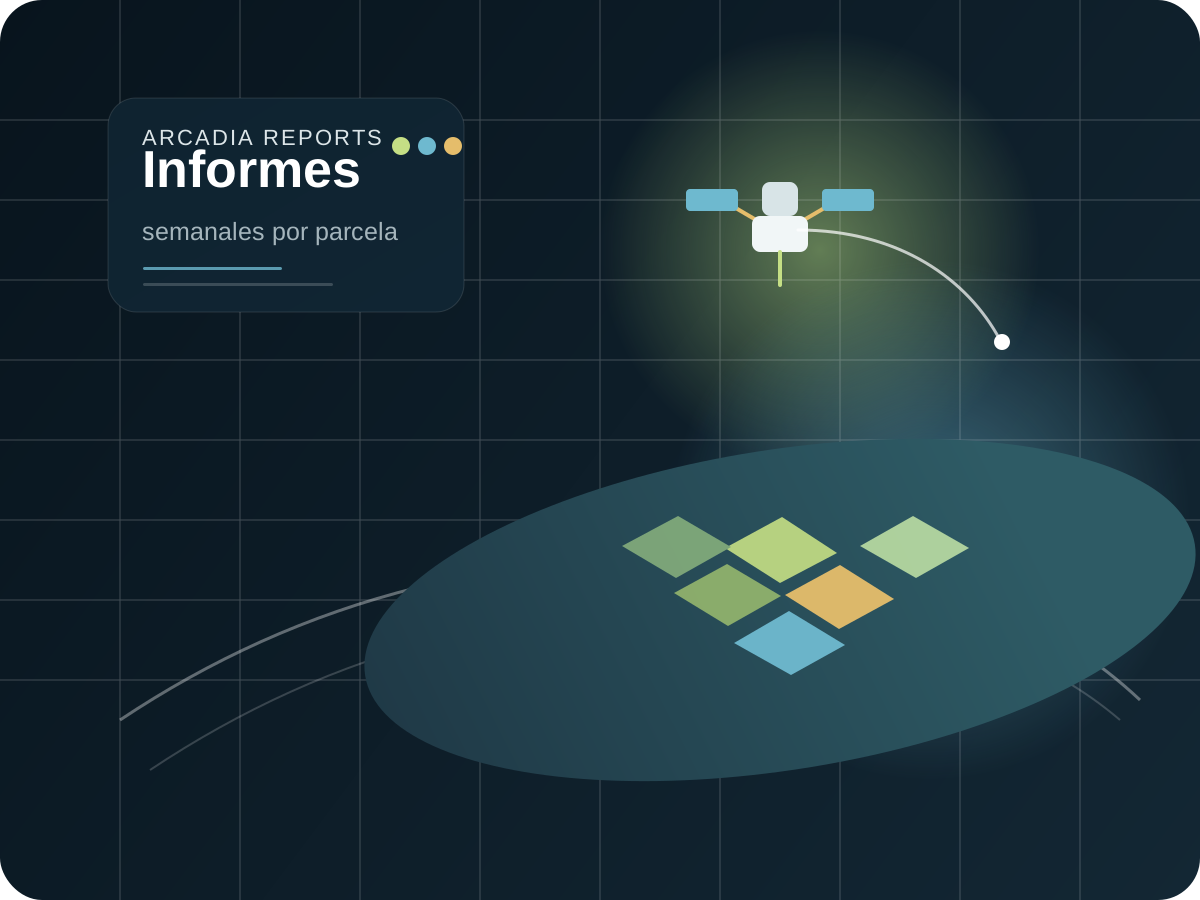
Ilustración corporativa de satélite, parcela y Arcadia Reports
Innovation ecosystem

Member of the Digital Catalonia Alliance.

Arcadia is part of the Digital Catalonia Alliance (DCA) and operates within an ecosystem connected to leading organizations in Earth observation, research and technology.

Connected with organizations such as ESA, IEEC, ICGC e i2CAT, strengthening our ability to design solutions based on data, remote sensing and technology applied to the territory.

Connected with ecosystem organizations
ESA
IEEC
ICGC
i2CAT
Collaboration network

Ecosystem of collaborators and partners.

Arcadia develops its projects within an ecosystem of leading entities, organizations and companies in technology, territory, research and the agroforestry sector.

The MotherTrees
Penedès Denominació d'Origen
Instituto de Ciencias de la Vid y del Vino
Consell Comarcal de l'Alt Penedès
Central de Compres Vitivinícoles
Consell Comarcal del Baix Llobregat
Diputació de Barcelona
Auravant

Representative selection of entities and companies linked to Arcadia’s professional ecosystem. The presence of a logo does not specify the nature of the existing relationship.

Better monitoring for better intervention.

We can study your farm, cooperative, winery or territory and design a monitoring model adapted to your real operations.

Request a demo ↗